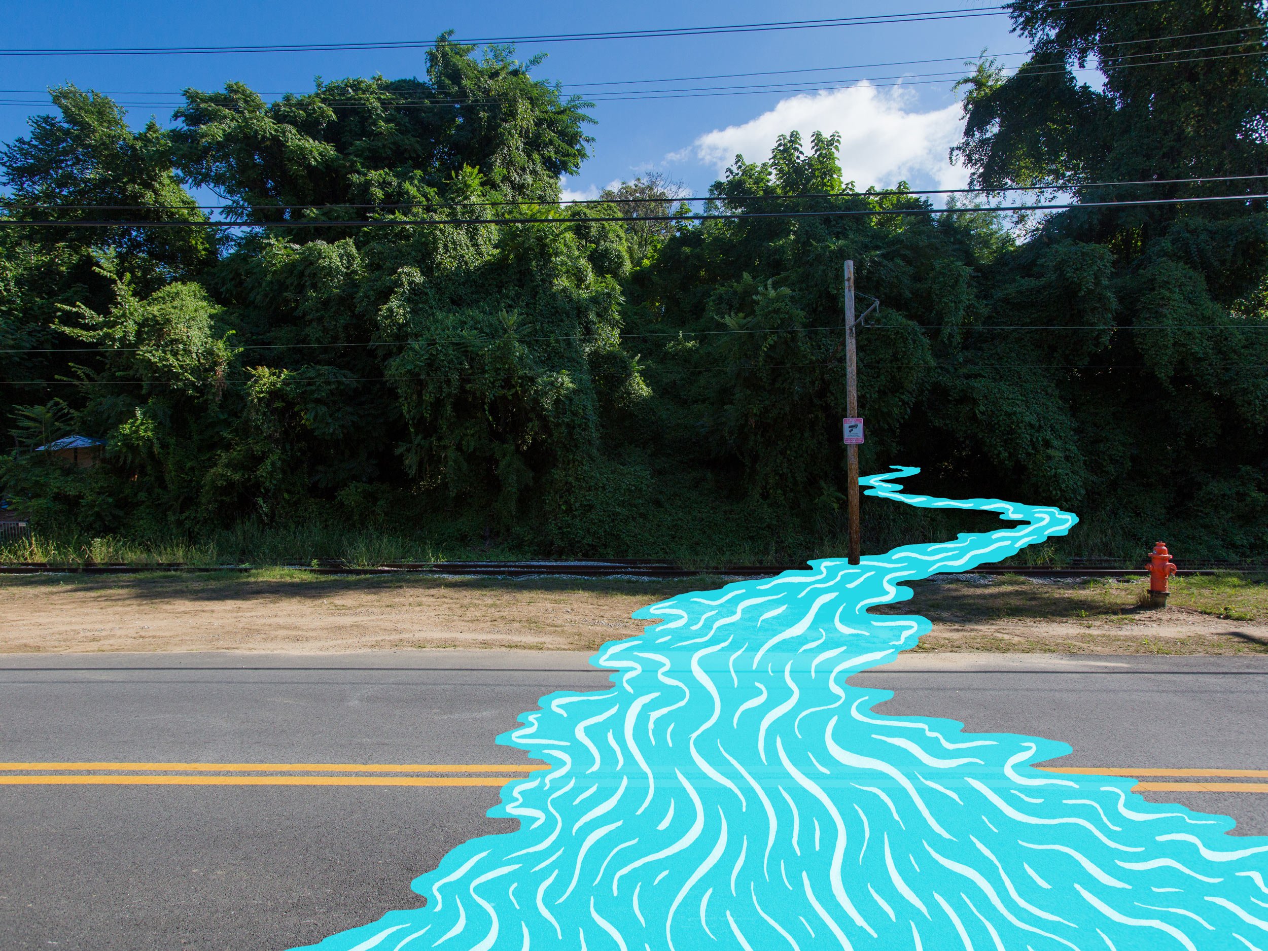
Site 12. Falls Road
Ghost Rivers: Sumwalt Run
Hidden streams, hidden stories.
Just steps from where you stand, the buried stream Sumwalt Run spills out from concealed, underground culverts. Its waters join the Jones Falls, briefly seeing the sun, before plunging back into tunnels under I-83. Walking along the river you can spy other ghost streams pouring into the Jones Falls from their own culverts.
Over millions of years, these waterways carved deep valleys through the Baltimore landscape, exposing layers of prized stone. Into these rocky cliffs along the Jones Falls and Stony Run, men chiseled quarries. The hard, gray gneiss rock would become the foundations of Baltimore’s churches, bridges, and rowhouses.
The Jones Falls also powered mills along its path, its waters spinning great wheels that ground grain into flour, and later driving machines that wove vast sheets of sailcloth and other fabrics. By 1900, Mount Vernon Mills, Hoopers Mill, and others were producing most of the world’s cotton duck, making Baltimore a global industrial hub. Railroads hugged the banks of these rivers, carrying raw materials and finished goods to and from the city.
In the late 1800s waves of Irish and Italian immigrants and Black families moved to the area to work the mills, quarries, and railroads of a rapidly-growing city. These workers were typically given the most backbreaking and dangerous jobs, including digging the tunnels for railroads, water mains, and the storm sewers that carry Baltimore’s buried streams.
The short street Glen Edwards Avenue once ran north from Falls Road under a viaduct (still partly visible in the hillside). The block was known as “Good Husbands Row” because the men labored seasonally in the quarries, staying home to watch the kids while their wives worked in the textile mills. Multiple families crowded together in these tenement houses, wedged into a sooty depression behind the railroad tracks. Glen Edwards Avenue backed up to Sumwalt Run, not-yet-fully buried, but polluted by overflowing outhouses and industrial waste. In the 1930s, the street and remaining stream were both buried, and the last trace of Sumwalt Run disappeared from Remington.
Good Husbands Row
Glen Edwards Avenue — a.k.a. Good Husbands Row — in Remington, looking southwest towards the Jones Falls. (Baltimore Sun. June 7, 1926.)
A portion of the Glen Edwards Avenue viaduct is still visible below the railroad tracks along Falls Road, now overgrown and used as an occasional shelter by unhoused Baltimoreans.
““[They called it Good Husbands Row] because all the women worked up in the mills and their husbands stayed home. you’d see the women walking up from the mills… cotton flying off of them.””
Jones' Falls near Baltimore. 1820, aquatint by John Hill after a painting by John Shaw. (Special Collections, Enoch Pratt Free Library)
This early-19th-century depiction of the Jones Falls shows the river cascading through a marshy and heavily-wooded valley. Falls Road (on the right) crosses over a small tributary, most likely Sumwalt Run or Stony Run.
Foundry on Jones’ Creek near Baltimore. 1820, lithography by Jacques Gérard Milbert. (Special Collections, Enoch Pratt Free Library)
One of the earliest views of the Baltimore landscape, this print depicts what is likely Mount Royal Forge, located near the confluence of the Jones Falls and Sumwalt Run, and one of the first of many factories along the Falls. According to Laura Rice, “the foundries represented early industrialization, a process that began in the countryside where raw materials and water power were abundant. Water power from the Jones Falls drove tilt-hammers weighing as much as five hundred pounds, that pounded hot pig iron into bars or sheets.” (From Maryland History in Prints. MDHS, 2002)
Sumwalt Run empties into the Jones Falls.


